Rail Connect magazine recently published an article featuring Thomson Ecology’s Technology Lead, Tim Donoyou, in which he addressed how GIS technology is aiding ecology management on Britian’s railways.
To read the article in full please click here, or read on.
There are over 30,000 hectares of vegetation running in corridors next to railway lines in the towns and countryside of the UK – an area equivalent to the Isle of Wight. Rail tracks run through, or adjacent to, nearly 300 Sites of Special Scientific Interest (SSSIs) in Britain, as well as through locally important wildlife sites. Biodiversity therefore plays an important part in the running of a railway.
Any planned work taking place on railway land must include an ecological assessment as a central part of the planning process. Thomson Ecology, the UK’s leading independent ecology specialist, has been working closely with Network Rail and its partners providing strategic ecological advice and habitat mitigation measures for a number of rail projects. These include Phase 2 of the East West Rail project, which will run from Bedford to Bicester, with spurs leading to Milton Keynes and Aylesbury (East West Rail partnership), and the extensive nature reserve creation on Wallasea Island (Crossrail team). The company has also provided training on ecology and biodiversity issues for Network Rail project managers.
Ecological assessment takes place in the early stages of any new scheme and, as part of this, wildlife on site must be accurately located so that adverse impacts on species can be appropriately mitigated. Mapping takes place at all stages, from receiving the site boundary and base mapping from Network Rail, to collating information through a desk study, collecting data on site and finally drawing up the proposed mitigation and landscaping plans.
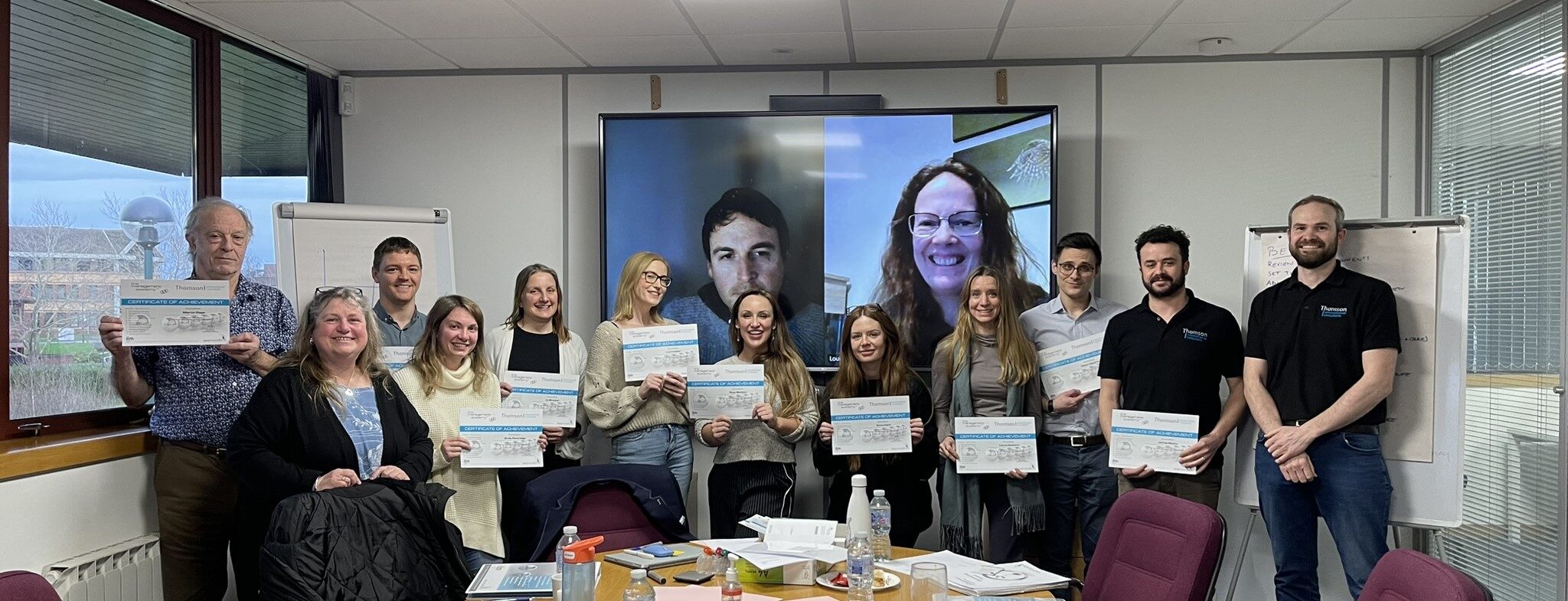
Until recently, this kind of mapping was a time-consuming and laborious process. However, Thomson Ecology has been pioneering the application of GIS technology and the use of mobile mapping for field data collection, which has removed the need for paper maps and made the whole process for mapping large schemes more streamlined, effective and efficient. The GIS team has already won an award for cutting-edge work in the field from the Association for Geographic Information (AGI).
Tim Donoyou, technology lead at Thomson Ecology, takes up the story:
“When we were working on the East West Rail project, the linear nature and length of the railway survey area meant that reams of paper field maps would have been required for each species survey.
Instead we used mobile mapping devices which were pre-loaded with all the available site information and could record data to sub-metre accuracy. Captured data was then regularly uploaded from devices to our servers via the latest wireless technology. The immediacy of this solution has given us tremendous advantages and allowed decisions to be made quickly and efficiently.
The field devices allow surveys to be undertaken in all weather, removing the need for pens, paper maps and survey forms in the field, and the frequent upload of data maximises security and minimises the potential for data loss. In addition they provide a health and safety function by pinpointing the location of the surveyor at all times.
In total we surveyed over 100 km of track as part of the ecological assessment programme during the 2013 survey season. To support the ecology surveys, our GIS specialists developed an interactive mapping tool to give all team members finger-tip access to the latest project information. As a result, the principal ecologists and GIS team were easily able to devise the most efficient survey programme by dividing the route into manageable sections, grouping ponds and ditches for great crested newt surveys and identifying ecologically important habitats. Once the surveys were underway, the interactive mapping tool proved to be hugely powerful and beneficial, allowing project managers to monitor survey progress identify any issues and make key decisions, saving time and money.
Using GIS technology and mobile mapping on the East West Rail project is a great example of how it is revolutionising a central part of the services we provide to our clients. In the short time we have been using the new devices they have already recorded locations and detailed information for over 10,000 different habitats, plants and animals, and, for the first time, it has allowed our team to upload and download data remotely from anywhere in the UK.
We see this as just the start and we plan to extend our facility for interactive mapping to all major projects in the course of 2014 and to develop new applications for geospatial information management as we move forward and grow the business.”