Thomson’s GIS and mapping team are the one-stop shop for all your environmental mapping and data capture needs.
Utilising the latest technology to capture environmental data in the field in real time our team underpins much of the survey work undertaken by all of Thomson’s teams.
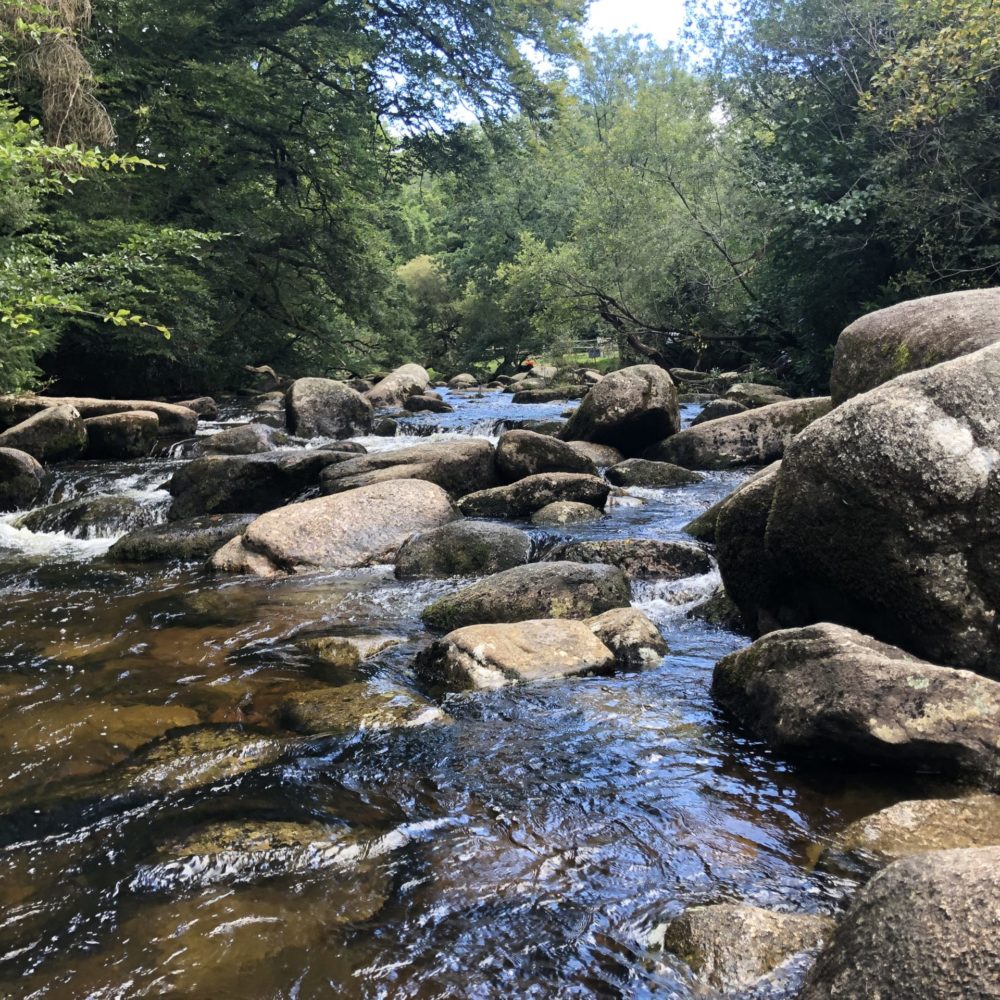
On-site data capture
We specialise in environmental data capture and have state-of-the-art technology and extensive experience of its application and use. We have an array of mobile mapping devices and a series of pre-defined survey forms to collect all required standard information for species and habitat surveys. Our systems guarantee unrivalled accuracy, efficiency and data security. They mean we can work in all weather conditions and also help to ensure the safety of our surveyors.
We can also create bespoke, highly focused data collection forms for those occasions when your data capture needs to go into even more detail.
Complementary data sources
We also have partnerships with a range of data collection organisations, so that we can obtain any required additional information quickly and efficiently to best suit your project. This includes Ordnance Survey base mapping, topographic surveys, aerial photography, satellite imaging, Unmanned Aerial Vehicle (UAV) data acquisition, protected species records, priority habitats and environmental impact assessment layers.
We are able to integrate all of this data into your project mapping portfolio, to enable you to manage all your site data in one, interactive, real-time map.
Survey results mapping
The results of our surveys and desk studies are always included as maps in our reports to present our findings clearly and display our recommendations. These maps are of the highest quality and are included in Planning Applications, Environmental Statements, Arboriculture Impact Assessments, Preliminary Ecological Appraisal (Phase 1 habitat survey) reports, European Protected Species Licence applications and Proposed Mitigation Plans. Our highly skilled GIS specialists use their cartographic skills, knowledge of environmental data and understanding of the project to represent and display the data with absolute clarity and we work with you to offer the best possible outcomes.
Ecological data management
We have vast experience at managing large, complex and diverse data sets. We use advanced GIS and database technology to ensure your data is safe and secure. We have created tools that help us and our teams to carry out quality assurance much more quickly and accurately than simple manual checks and we can automate many previously manual tasks – this means Thomson GIS can not only help capture your data more quickly and easily but also make it more reliable and easier to understand. Our understanding of data management has meant we can deliver huge projects on time and on budget.
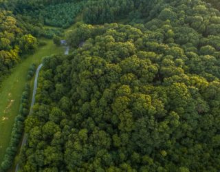
Remote data capture
To complement our in-the-field data collection we use remote survey data. Increasingly we use aerial photography and satellite imagery, which we interpret using specialist modelling techniques, for the identification of habitats and key features on site. We can also use camera traps and static monitoring devices and other unmanned techniques to capture undisturbed mammal and bird activity.
To discuss your requirements or the ecological data capture and management services that we offer, please contact us today!
-
![]()
-
![]() GIS Technical Lead
GIS Technical Lead