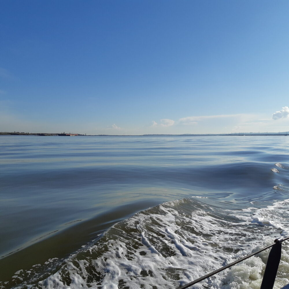
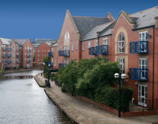
The mapping of coastal habitats is essential to assess the potential impacts of developments and to enable monitoring of changes in the environmental status of marine ecosystems.
Coastal monitoring is required for conservation management, assessing biodiversity, and for the development of strategic shoreline management plans, coastal protection, and flood defence strategies. Acquisition of reliable data for the identification of coastal zones is therefore critical, which is challenging given the complex changes that occur along our coasts over varying temporal and spatial scales [1].
Standard survey techniques involve sending multiple highly qualified personnel to collect in-situ measurements. Although this generates highly detailed information, which is required for many applications, this labour-intensive method is restricted in the spatial extent it can cover. This is especially true for coastal mapping, given that tides limit the available time for surveying. Also, safety considerations for the surveyors often mean access is limited along coastlines.
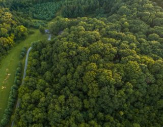
Manned aircraft mounted with Light Detection and Ranging (LiDAR) can map large areas remotely, yielding high-resolution data [2]. However, this technique is not appropriate for routing monitoring due to the often prohibitive cost and long processing times of the data. Satellite imagery is another way to collect marine data on a large scale, however this too is costly and usually of a lower resolution.
The advancement of Unmanned Aerial Vehicles (UAVs), small multirotor aircrafts which are easy to deploy, has provided a rapid, efficient, and cost-effective survey strategy that can be used for regular monitoring [3]. Flight plans are set up prior to deployment, with geo-referenced waypoints, which the drone follows autonomously during the flight [2]. This means subsequent surveys are replicated faithfully, giving highly consistent spatial coverage.
Drones can be equipped with a range of sensors, such as high-resolution (2-5cm) cameras in the visible and near infra-red spectrum. Imagery is processed to produce seamless, georeferenced, orthorectified image mosaics, showing the extent of different habitats or features of interest. Models can also be used to show relative surface elevation and to allow the study area to be navigated in a 3D environment from the viewer’s desk. Their lightweight, small design means that drones can be deployed in hard-to-reach areas and can cover large areas while collecting different types of data of high resolution.
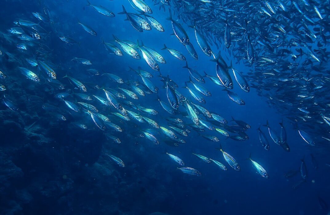
UAV technology has improved significantly in recent years, with better sensors and flight agility [4] and the range of applications for UAV surveys is only just being realised. They are used for the classification of habitats, to provide digitised ecological habitat maps for use within Phase 1 habitat surveys and for mapping the extent of protected coastal vegetation such as seagrass and saltmarsh. Other ecological uses include identifying and characterizing fish nursery grounds [5] and even underwater 3D modelling to assess the structural complexity of coral reef habitat, which is a key driver of ecosystem biodiversity and resilience [6] and has previously been near-impossible to measure. Additionally, drone surveys are an effective method of monitoring the population status of marine mammals [7].
Along our coasts, UAV measurements of topography enable the study of erosion and the evolution of structures such as sand dunes and tidal inlets [1], along with the assessment of coastal impacts of storms [2]. Drones can also be used to monitor human influences, such as oil spills and the density of litter on beaches, even allowing the identification of different types of litter and measurement of the size of individual litter items [8].
Excited by these varied applications, we at Thomson are making the process even more efficient, using image recognition software to automatically identify habitats from the drone imagery we collect and working to apply this software to new habitats and to drone imagery collected for other purposes. Although we look forward to further innovation and improvements in the field, UAVs have already proven themselves to be a valuable tool for efficient and reliable coastal mapping, often outperforming other techniques.
Get in touch
If you’ve found this article useful for one of your projects or would like further information, please get in touch.
[1] Laporte-Fauret, Q., Marieu, V., Castellle B., Michalet, R., Bujan, S., Rosebery, D. 2019. Low-Cost UAV for High-Resolution and Large-Scale Coastal Dune Change Monitoring Using Photogrammetry. Journal of Marine Science and Engineering. 7, 63.
[2] Drummond, C. D., Harley, M. D., Turner, I. L., Matheen, A. N. A., Glamore, W. C. (2016). UAV Applications to Coastal Engineering. Australasian Coasts & Ports Conference 2016.
[3] Turner, I. L., Harley, M. D., Drummond, C. D. 2016. UAVs for coastal surveying. Coastal Engineering, 114, 19-24.
[4] Papakonstantinou, A., Topouzelis, K., Pavlogeorgatos, G. 2016. Coastline Zones Identification and 3D Coastal Mapping Using UAV Spatial Data. ISPRS International Journal of Geo-Information. 5, 75.
[5] Ventura, D., Bruno, M., Lasinio, G.J., Belluscio, A., Ardizzone, G. 2016. A low-cost drone based application for identifying and mapping of coastal fish nursery grounds. Estuarine Coastal and Shelf Science. 171, 85–98.
[6] Ferrari, R., McKinnon, D., He, H., Smith, R., Corke, P., González-Rivero, M., Mumby, P., Upcroft, B. 2016. Quantifying multiscale habitat structural complexity: A cost-effective framework for underwater 3D modelling. Remote Sensing. 8, 113.
[7] Hodgson, A., Kelly, N., Peel, D. 2013. Unmanned aerial vehicles (UAVs) for surveying Marine Fauna: A dugong case study. PLoS ONE. 8(11), e79556.
[8] Deidun, A., Gauci, A., Lagorio, S., Galgani, F. 2018. Optimising beached litter monitoring protocols through aerial imagery. Marine Pollution Bulletin. 131, 212–217.