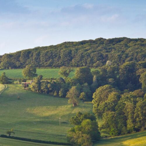
Drones, otherwise known as Unmanned Aerial Vehicles (UAV), bolster the team.
Thomson Ecology is able to use drones for Phase 1 surveys, corridor mapping, coastal surveys, invasive species mapping and in water sampling. 4D film can
also be created from the footage. This allows precarious environments and hard-to-access sites to be surveyed more quickly, with less cost, and without
risk to surveyors. The data can be collected very quickly, and can be imported to our award-winning interactive mapping system (TIM) and then shared
with project teams and clients to enable valuable site data to be viewed.
There are legal requirements when using drones. You cannot fly a drone within 50m of people, and it must be kept “within site” – within 400ft in altitude,
for example. Legislation is in place to prevent people from breaking these laws with fines imposed on those who do; and to use a drone commercially
a licence is required.
We demonstrated our drone technique, including some recently filmed footage – and corresponding 4D footage – at a breakfast workshop held at the end of
last year at CIWEM’s headquarters in London, entitled “Collaborate, innovate, succeed”. It caused a good deal of interest and excitement.


