Our expertise and experience
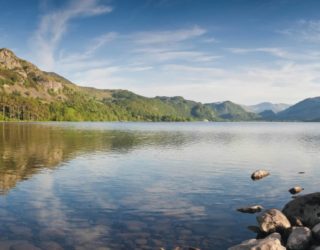
The Thomson GIS (Geographic Information System) and Mapping team provides specialist environmental data capture, management, and analysis to support projects across terrestrial, marine, arboricultural, and freshwater environments.
Our data capture, analysis, and visualisation capabilities and our drive for innovation mean we lead the way in new ways of understanding your data and making it available in easy-to-use ways. Thomson’s GIS specialists can support you with everything from setting up data collection standards and systems to managing, organising, and analysing data. Our team can also prepare clear outputs that help you make informed decisions.
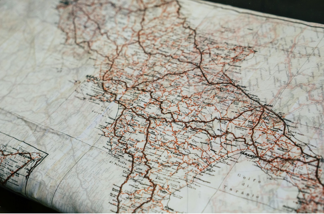
We use the latest technology, specialist software, and our own in-house processes. Our team has mapped habitats using multispectral imagery and used machine learning to extract spatial data from historic maps. We’ve also set up digital data collection systems for ecological surveys and managed large survey datasets. We create interactive maps that make project information easy to understand. Our specialists also offer guidance and support on geospatial work for both colleagues and clients.
Our GIS specialists and solutions provide support across a wide range of sectors, from providing data capture and QA solutions for large-scale infrastructure projects to assisting charities with spatial analysis and research. Get in touch to see how Thomson’s GIS team can help.
Our GIS consultancy services
Habitat mapping
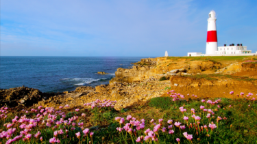
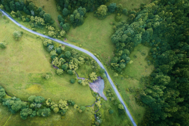
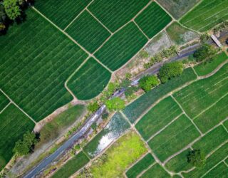
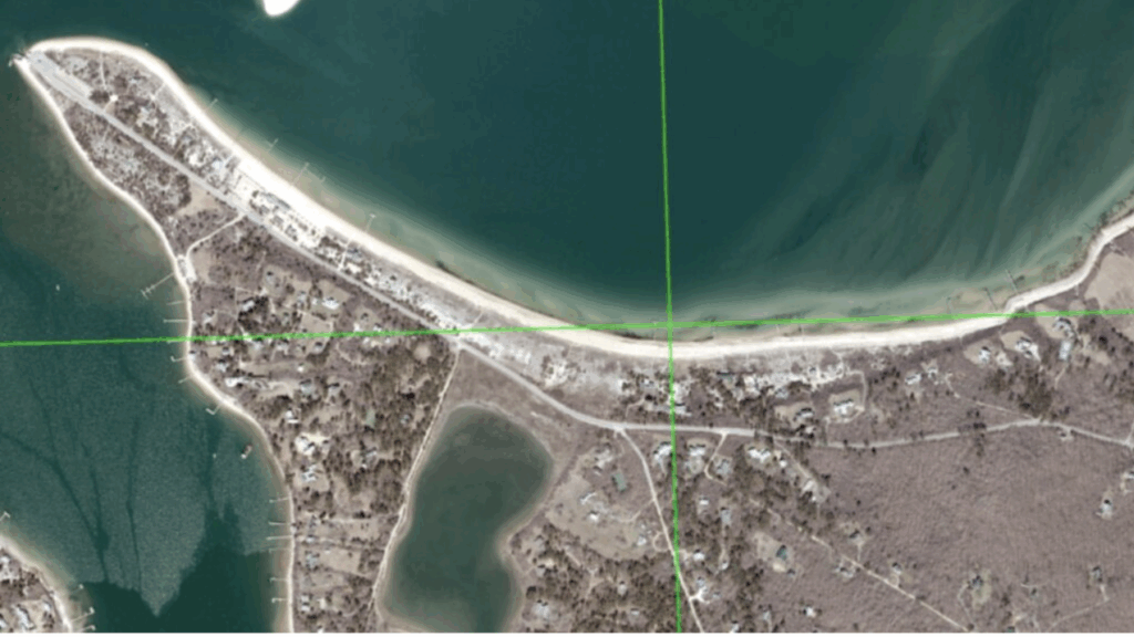
Thomson’s GIS & Mapping team offers advanced habitat mapping services using aerial, satellite, and drone imagery. Our experts also use machine learning and AI-driven models to indicate the geographic distribution of habitat types.
These methods provide efficient, high-resolution baseline maps and enable ongoing monitoring, even in areas that are difficult to survey by traditional means. Additionally, the team can produce interactive StoryMaps to visualise and share project data in an accessible way.
Find out more about our habitat mapping services.
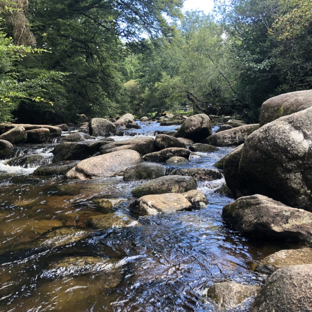
Ecological data capture
Thomson’s GIS and Mapping team delivers ecological data capture and management services to support every stage of environmental projects, from field surveys to final reporting. Using advanced mobile mapping technology and tailored digital survey forms, our team collects accurate environmental data in real time. This ensures efficiency, reliability, and safety in all conditions.
Spatial analysis & data visualisation
Thomson’s GIS & Mapping team provides advanced spatial analysis and creative visualisations to bring project data to life. Our experts use 3D GIS capabilities to visualise sites from multiple perspectives, turning tree surveys into interactive 3D models or simulating temporal changes.
Thomson’s GIS Consultants also build complex AI and machine-learning models, such as predictive ecology, to support analyses. This may include natural capital assessment, habitat gain/loss, proximity to ecological features, collision risk, and mitigation site identification.
Interactive mapping app (TIM)
Our unique data mapping system, TIM, can be used on any project to collate all the data into one place, with easy accessibility. Through TIM, clients can view data in near real time, track progress, and make timely decisions based on developing field results.
Find out more about our award-winning interactive mapping app here.
UAV surveys & analysis
Thomson uses UAVs (drones) licensed by the CAA to collect aerial data for ecological purposes. Our drones are equipped with multispectral cameras, capturing imagery beyond visible bands that can be used to assess vegetation health (via NDVI, NDRE) and monitor imagery over time. Find out more about our UAV surveys and analysis services here.
Explore our recent case studies to find out more.
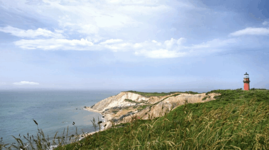
“Thomson’s quality of work is amazing. The GIS and mapping team is incredible, and on-screen digitisation and AI classification are impeccable.”
- Chris Seidel, GIS Coordinator, Martha’s Vineyard Commission.
Meet our GIS consultancy team
We are a friendly and professional team with years of experience in providing expert GIS consultancy advice. Led by Principal GIS Specialist, Joanne Brooker, our team is passionate about using GIS to aid nature and business thrive together. Meet the team here to learn more about our specialists.
Geospatial knowledge hub
Visit our knowledge hub for everything from BNG updates and news to resources on habitat mapping.
Frequently asked questions
Why work with a GIS consultant?
A GIS (Geographic Information System) consultant’s work helps organisations understand the relationships between different features in the environment, such as habitats, infrastructure, and land use. Our consultants will provide expert advice and create maps, models, and visualisations that support better decision-making for your project. Get in touch today to find out more.
What is GIS software?
GIS software is a digital tool used to capture, manage, analyse, and display geographical information. It allows users to layer different types of data on a map to reveal patterns, trends, and connections.
Why is GIS mapping important for your project?
GIS mapping is important because it brings together information from multiple sources to create a clear, accurate picture of a location. GIS mapping also improves efficiency and provides a more effective response to issues such as environmental changes.
Do you need GIS consultancy support for your project? Contact us today to discuss your GIS requirements.
Useful resources
AI maps a way back for endangered reptiles
How GIS is a game-changer in the environmental consultancy sector
-
![]()
-
![]() GIS Technical Lead
GIS Technical Lead