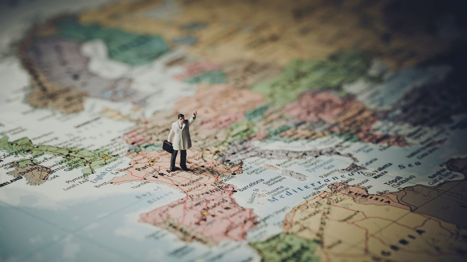
No you are not reading this wrongly and yes it may well be the 1st April but Thomson Environmental’s GIS team can indeed reveal why the world really is flat! Ok so that’s not exactly true. We all know (well most of us) that the world is indeed spherical (or to be more accurate an oblate spheroid – flatter at the ends). But the reality is that in the world of maps and mapping the vast majority of us still experience representations of the earth in 2 dimensions – yes it’s flat!
For thousands of years from early scratches on rocks, through to beautiful hand drawn atlases and Ordnance Survey Landranger maps to Google and sophisticated geographical information systems (GIS) on our screens most of us look at the earth and understand its topography and topology as if the earth really was flat. But how can a complex sphere of multiple heights and depths, whose curvature means that on flat ground you can’t see beyond about 5km, be transferred to 2 dimensions and still be accurate?
Flattening the globe with map projections
Well in fact it can’t to 100% accuracy. In essence every map we see uses a map projection to transfer the 3D reality of a globe to a 2D representation on paper (or increasingly on a screen). A map projection is a way to flatten a globe’s surface into a “plane” in order to make a map. This requires the transformation of the latitudes and longitudes of locations from the surface of the globe into locations on a plane – when projecting a map into 2D though the nature of the maths is such that there will always be some element of compromise – whether it’s area, shape, distance or bearing. Indeed the most famous map projection and the one that most people would recognise on a world map is the Mercator projection – but actually in reality the earth doesn’t really look like that and in fact that projection has been very heavily criticised by modern map makers as it actually enlarges areas further from the equator.
But as well as global projections there are literally thousands of local map projections and referencing systems. In the UK we are fortunate to have the Ordnance Survey’s British National Grid system – a highly accurate map projection and referencing system that covers every part of the British Isles and means we have a fantastically accurate set of base mapping and map coordinates on which we can build our own data and datasets.
The future of GIS technology
GIS technology though is increasingly looking to use Globes and 3D maps and the technology is becoming more of a reality. At Thomson we are looking at new and exciting ways to bring maps off of ‘the flat’ and back into a closer representation of reality – for example it’s possible to model our tree surveys in 3D, to add buildings and context for landscape analysis. We can create 3D point clouds of habitat areas to monitor change over time from our UAV drone surveys. We can model change of coastal areas in 3D with LIDAR (light detection and ranging) data. We can show traditional 2D map data on a 3D globe. The list of potential uses for 3D GIS is growing at a pace.
While for now, and for most of us, the mapping world does indeed remain flat and will remain so for a while yet (not just on April the 1st) maps and GIS is increasingly capable of reaching a new dimension.
How Thomson can help
Thomson’s award winning GIS team can help you manage, capture and work with spatial and mapping day in both 2D and 3D – contact [email protected] to find out how we can help you.


