Through continuing our efforts to use our UAV (Unmanned Aerial Vehicle) for ecology surveys, we recently worked with Essex and Suffolk Water to map habitats and topography for ecology purposes. This relatively new process gave Essex and Suffolk Water mapped data which they could share with their whole team and use for future comparisons of habitat changes.
We have combined UAV technology with our mapping system, TIM, to provide incredibly clear aerial photography which can be overlaid with habitat mapping to allow our clients to track habitat changes over a period of time.
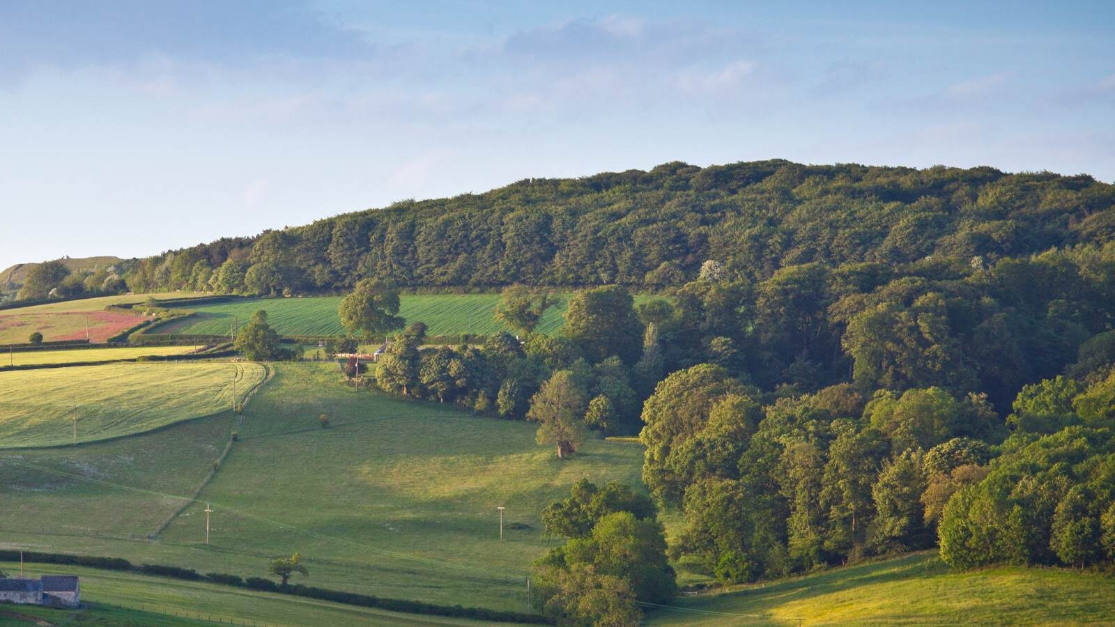
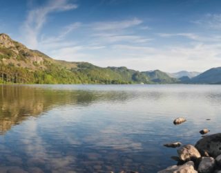
For this particular project we mapped over 269 hectares (665 acres) of land across Norfolk, including areas of waterways.
Before the flight could start we put together a flight plan. A flight plan includes the proposed location, scale, aims and possible constraints on the flight. It takes in information from multiple sources and will ultimately determine whether the flight can be undertaken safely and legally. It is possible that constraints may be identified that could entirely prevent the flight going ahead. In this case we were satisfied that the flight could be done safely and legally, and within the limits of our Operations Manual and Permit for Commercial Operation (PfCO).
The weather is, of course, an important element to consider. Because this survey was to be done in mid-winter, we spent a couple of tense weeks carefully watching to see if there would be a weather window long enough to undertake several days’ worth of flying. Luckily, a week of calm and bright weather was forecast, so the flight plan was finalised, and the flight team briefed and deployed.
After arriving at Trinity Broads in Norfolk, we physically checked the site to identify possible constraints that may not have been spotted from the information which had been available remotely. With this assessment complete, it was finally time to start flying.
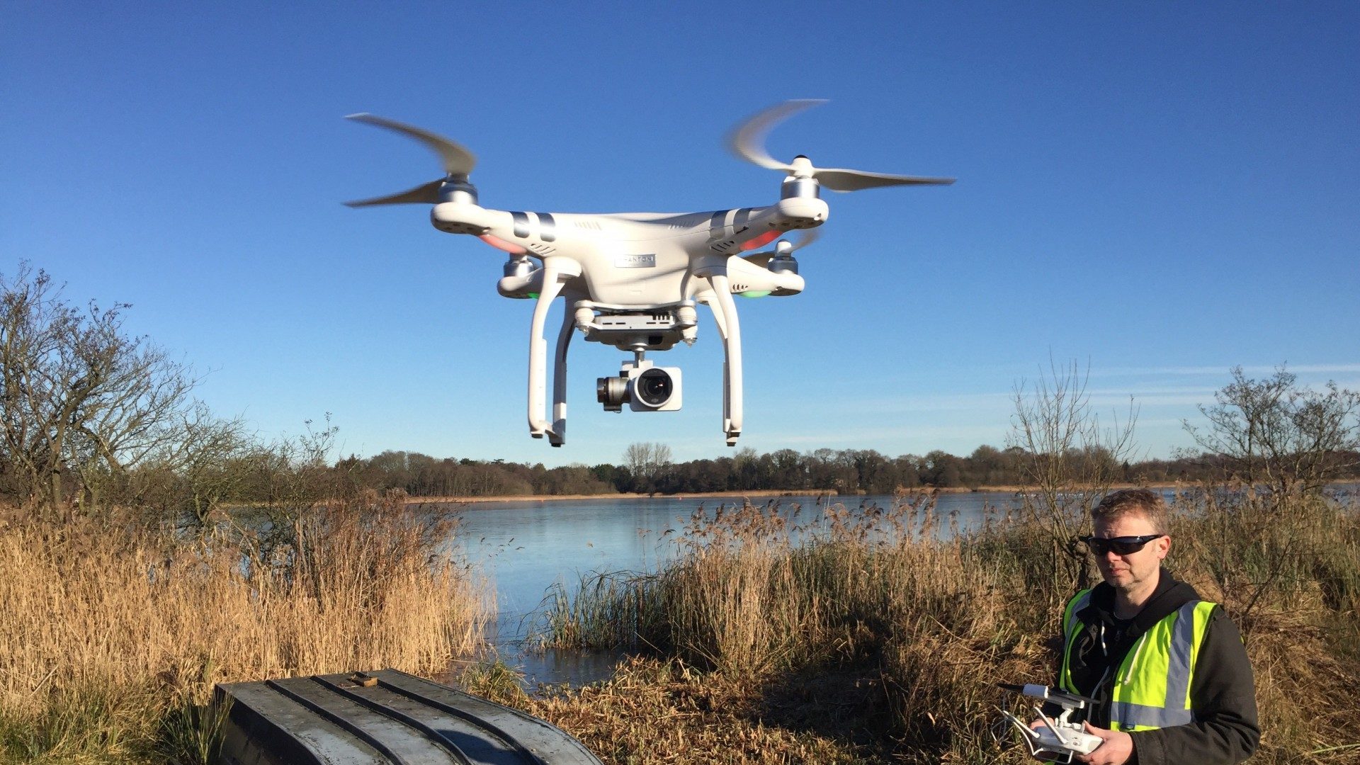
We had identified the areas to be flown and established an appropriate flight height, speed and pattern. Systems within the UAV can deal with a lot of the flight handling and control, while the pilot and team members monitor the progress of the flight and watch out for any potential hazards which may enter the flight area both on the ground and in the air.
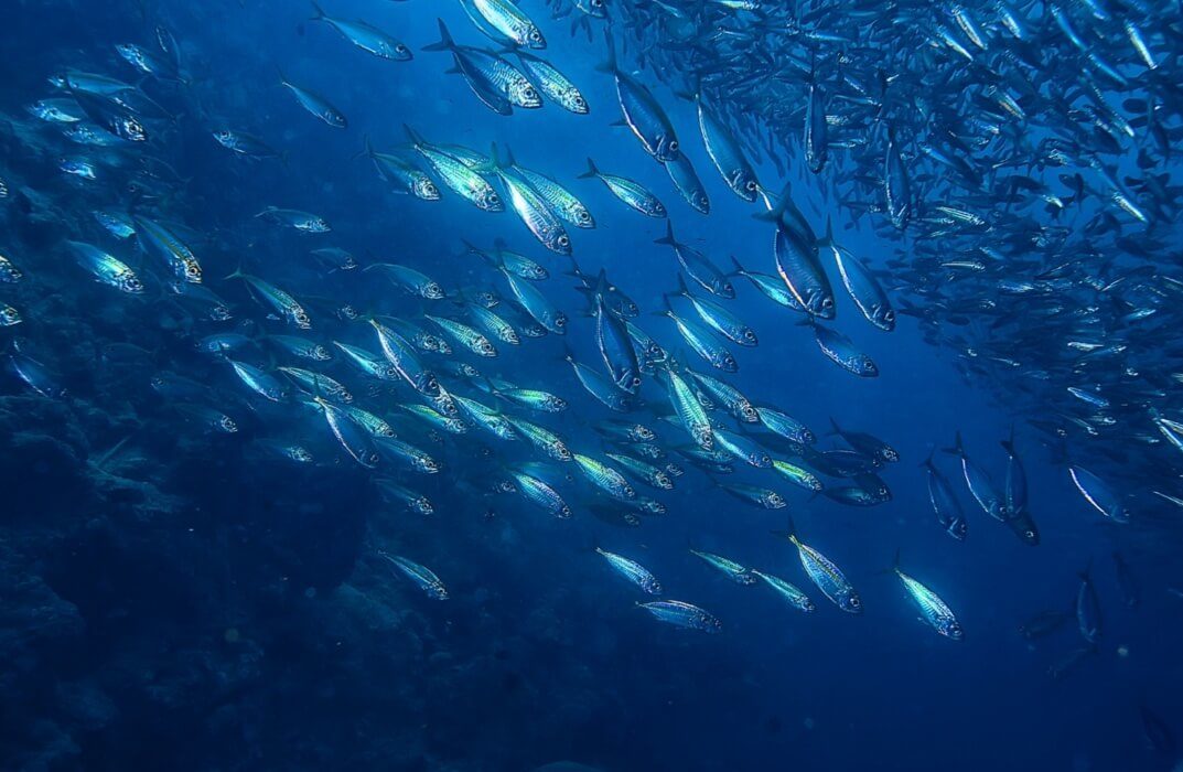
Because of the large size of the Trinity Broads survey area, flights were repeated many times over the course of a week. An extra complication arose from the occasional need to launch and land the UAV from a boat. When surveying the more extensive areas of water, we realised that the most efficient method was to use the boat not only to access the entire area, but also as a mobile platform for the UAV. This was a helpful addition to the survey effort.
During the flights we collected over four and a half thousand still images. We then transferred them to the company servers for safe storage. The individual aerial images were processed and stitched together to form a single, geo-referenced image for each survey area, suitable for mapping and habitat identification. From that we were then able to produce habitat maps. For this particular survey the habitat mapping was primarily focused on a section of the broad rather than the whole site. To a large extent, the habitat mapping was undertaken using manual identification and digitisation directly from the aerial imagery though, where possible and appropriate, image recognition software and automated processes were employed to speed things up. Additional outputs can include height data, 3-dimensional modelling and point cloud data.
Alex Mueller, conservation advisor for Northumbrian Water Group said: “We have reservoirs, water treatment works and many thousands of hectares of natural habitat and other sites to look after as part of our operations on a daily basis. Making sure we have good records of the land we own is important for operational reasons, but also for land management purposes and for helping us comply with regulations and law relating to wildlife and the countryside.
“Thomson Ecology’s UAV capabilities are extremely useful. They provided up-to-date aerial photography at a 4cm resolution. Thomson Ecology has overlaid habitat mapping which allows us to see the habitat changes over a period of time. The TIM (Thomson Interactive Mapping) system is also fantastic as it allows us to share this information easily with both internal and external stakeholders.”
“Working with Thomson Ecology has helped us to make use of the new drone technology for our business and is delivering excellent quality data for our systems. Making sure our environment is protected and enhanced, helps us as a water company to provide the best quality drinking water for our customers,” she said.