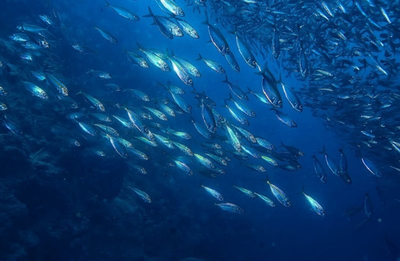
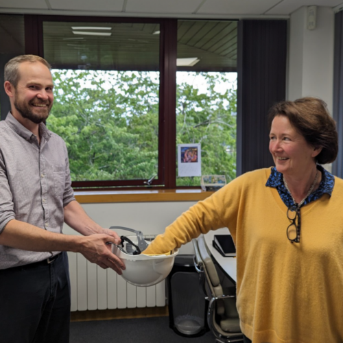
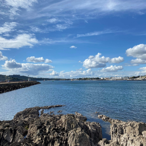
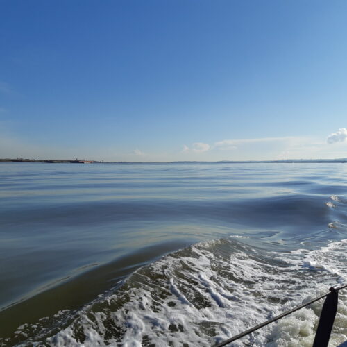
Dr Bruce Mostert takes a look at benthic sampling and how we still rely on historical expeditions.
Scientific expeditions to explore, map and catalogue the natural world have been occurring for centuries. Early expeditions sought to explore the chemical, bathymetric, geological, and biological condition of the oceans. Results were published in extensive expedition reports, which often took the names of the vessels on which they were undertaken, such as those aboard HMS Challenger between 1873 and 1876. Sampling of biological specimens during these expeditions included those from the seabed, which had often never been seen before and so were described as new species, preserved, and catalogued in museums for scientists to refer to for years to come.
In the twentieth century marine benthic sampling, or the collection of material from the sea floor, became more common practice for marine biologists to study the sediment and the macrofauna living in and on the seabed. However, it was often limited due to constraints not only in the expense and logistics of sampling sea floor environments, but also in sampling methods. For example, only in the 1960s did sampling gear limitations become apparent when the use of an epibenthic sled revealed that biodiversity does not decline with depth, as believed at the time. In fact, the anchor sleds that had been used previously to sample the deep seabed had been underrepresenting the range of different species that can be found in the deep sea with the right equipment (1). Nevertheless, these historical data provide a wealth of information that is invaluable for ecologists today to gain an understanding of the natural environment prior to extensive anthropogenic influences, such as accelerated global climate change and the scourge of plastic pollution.
Modern benthic sampling
Today, benthic surveys are carried out all over the world as part of environmental baseline, monitoring and impact assessments, for various types of development (such as ports and harbour expansions, and renewable energy infrastructure), and for various industrial activities (such as mining and fisheries). These expeditions are often driven by the responsibility to ensure that operations and developments in the marine environment are conducted in the most environmentally responsible and sustainable manner possible.
Additionally, benthic surveys are conducted for scientific research to improve our understanding of biodiversity to inform which areas should be protected, or for collecting new data vital to understanding the impacts of human activity and the current global climate crisis.
This has resulted in high demand for marine environmental specialists to assess the benthic environment and advise on various environmental issues. I have found myself in a range of unusual situations, from baking under the tropical sun in a small boat in the middle of a mangrove system dropping small metal grabs into shallow waters, to being soaked by cold sea spray on the back of a large ship kilometres offshore, hauling big cumbersome grabs on heavy duty winches from hundreds of metres below sea level, and deploying state of the art Remotely Operated Vehicles (ROVs) to collect and photograph specific specimens of interest.
Survey work, preparation and planning
Extensive planning and preparation are required for all marine surveys. Careful consideration must be given to selecting sample sites, to ensure the survey collects data that addresses the aims of the project. Often, the first step is to study maps, scientific literature, bathymetric data, tides and any available historical data to determine what sampling is feasible and to gain insight into the conditions and challenges likely to be encountered.
Next, permits and licences to allow the survey to proceed must be obtained, along with visas and immunisations for overseas projects, even before addressing the logistics of arranging for the surveyors and sampling equipment to get to hard-to-reach destinations at the right time. Additionally, for international projects, administrative processes must be followed to clear customs with large cases full of unusual scientific instruments and probes, as well as sampling equipment and containers to be filled with sediment and macrofauna.
Once all plans are in place, the actual sampling involves using various sizes and types of grabs or corers to collect samples of sediment from the sea floor or estuary bed. The principle behind benthic sampling is to extract a known area and volume of sediment, maintaining its integrity as it is hauled to the surface. Collecting a section of the benthic environment in this way allows ecologists to assess the physical, chemical, and biological characteristics of a larger area.
When the grab is retrieved qualitative observations are taken such as whether it is coarse or fine sediment, if any large macrofauna are immediately obvious, and if there any indications of a black colour or smell of hydrogen sulphide which would indicate the presence of anoxic conditions. Next, small sediment samples are extracted for chemical or physical analysis such as particle size analysis, organic content, redox potential, and trace metal analysis. Finally, the sediment is then sieved through a specified mesh size, washing all the fine material away, leaving the coarse sediment and macrofauna which is then collected and preserved for subsequent laboratory analysis, including taxonomic identification, weighing and counting of the specimens.
The value of historical data
A constraint often encountered in planning marine surveys is the lack of scientific data and literature, especially pertaining to the benthic environment in remote locations. This is usually due to financial constraints of mounting extensive expeditions, perhaps in conjunction with local political climates and turmoil preventing safe expeditions to these areas, sometimes for several decades. Historical data from those early expeditions are, therefore, invaluable to successful survey work today. They provide information on the baseline conditions, often prior to major human disturbances.
For example, when I was working on a site off the West African coast, scientific literature and data on the benthic environment were proving particularly difficult to unearth. One marine expedition that proved useful was that of the Danish vessel Atlantide. The vessel was a three masted schooner owned by a Danish sculptor, Mr Viggo Jarl, who generously lent the vessel to the Danish Government and University of Copenhagen. Jarl paid all expenses associated with the expedition and contributed considerable capital for the purchase of scientific equipment (2,3). The expedition followed the length of the West African coast to the Cape, including the Ascension Islands and St Helena, a voyage that lasted from October 1945 to June 1946 (3). The vessel was equipped with a range of sampling gear including Petersen and Van Veen grabs, various trawls and dredges, plankton nets and even a harpoon gun, with the aim of collecting zoogeographical data (2). The expedition resulted in an impressive 14 volumes that were authored between 1950 and 1977 indicating the vast amount of scientific data collected during the expedition that would have required processing, analysis and description.
Modern marine biologists have a great respect and appreciation for these early expeditions and the resulting works, especially when planning our own ‘expeditions’ to similar areas today.
Author: Dr Bruce Mostert
References
1. Hessler, R. and H. Sanders. 1967. Faunal diversity in the deep-sea. Deep Sea Research and Oceanographic Abstracts 14:65-78.
2. Danish Research Expedition. Nature (1945) 156, 565. https://doi.org/10.1038/156565c0
3. Marshall, N. (1952). The Atlantide Expedition. Nature 169, 491–492. https://doi.org/10.1038/169491a0

